August 5: "Glacier tongues"
A small drizzle on the roof of the tent in the middle of the night but dawn
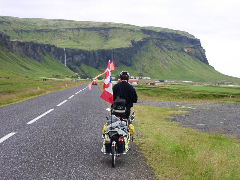
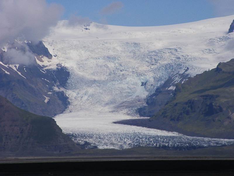
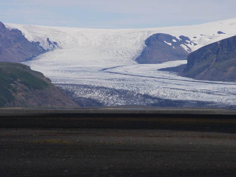
without wind and simply cloudy. We again rolled with breathtaking landscapes
on our left: green mountains then glacier tongues in the distance which rather
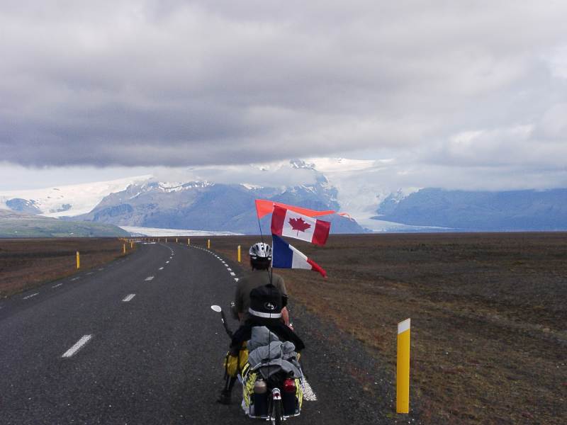
quickly became increasingly closer. In 1996 a volcanic eruption took place
underneath, Vatnajökull, the ice and snow cap which nourishes these glaciers.
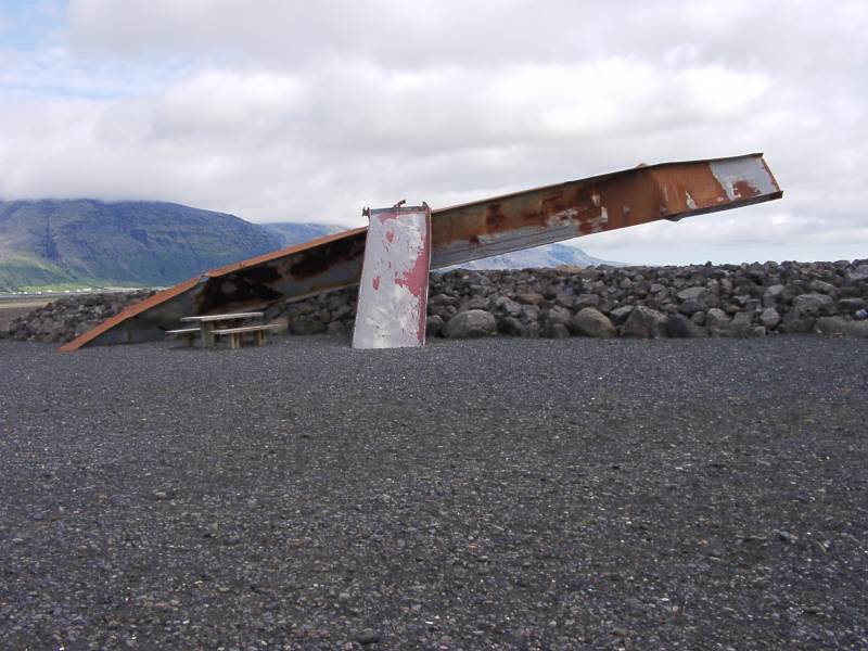
3 cubic km of this cap melted and a few days later, the ice which retained
all this huge mass of water gave way creating a cataclysmic river which bulldozered
everything on its way to the sea and in particular 10 km of the n° 1 road
including it's bridges. All of south eastern Iceland was consequently isolated
from the rest of the country until a new road could be built.
An immense moraine
showed up far away on our left. Gradually we could see it ever more precisely
and at one point we had the impression that it was only a few minutes' walk
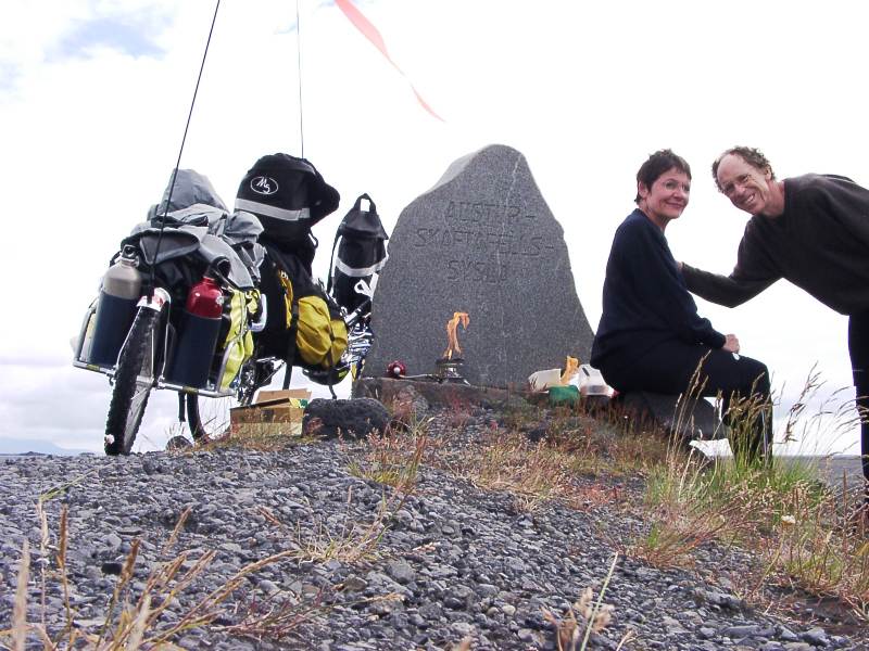
away from the road. A mistaken impression of course. After 35 km of steady
pedalling, hunger and fatigue became ever more perceptible and we therefore
decided to stop to eat and rest but no parking lot. Not even a sign post in
sight against which we could lean our machine. We had to continue another
7 km before finding a commemorative stone against which we propped our bicycle
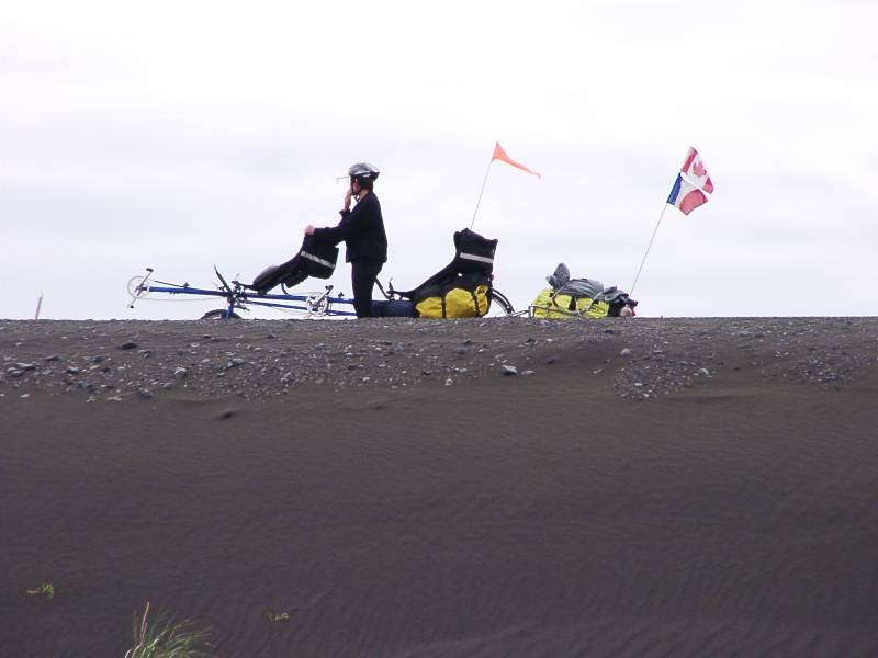
and sat down for a nourishing rest. During this life saving pause, the sun
graced us with an appearance accompanied by a encouraging tail wind. Paradise
on earth on a lunar landscape!
 |
 |
 |
 |
 |
|
Between Skaftafell
|
and Kirkjubaejarklaustur
|
Glacier
rivers' delta
|
Picnic beside
the road
|
Volcanic
sand
|
 |
 |
 |
 |
|
Vatnajökull
ice
|
cap glaciers
|
Part of
a bridge destroyed by the '96 flood
|
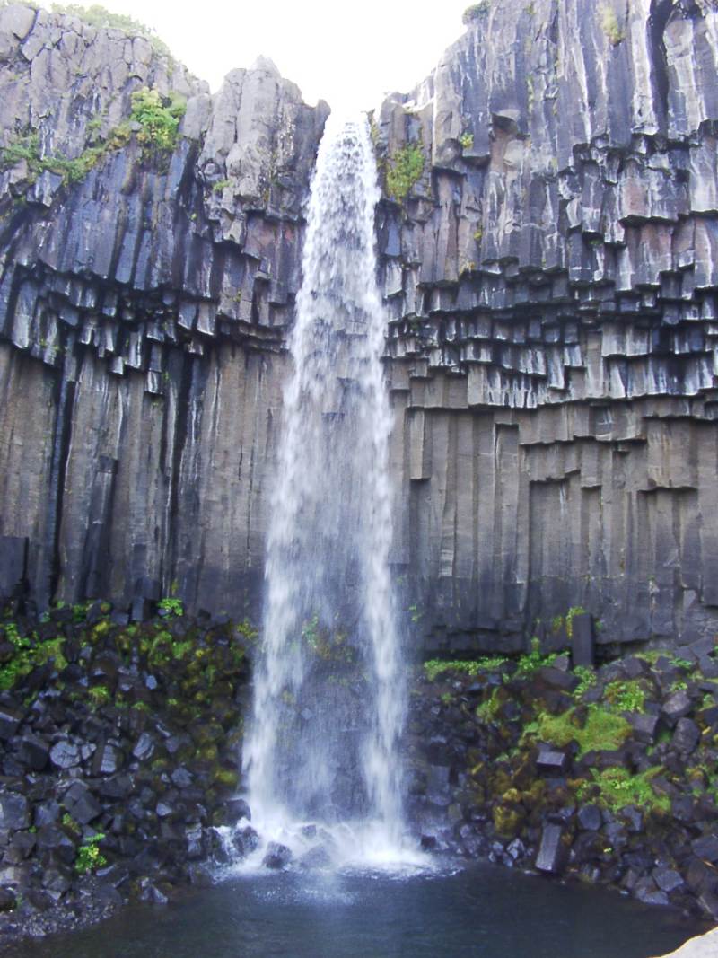
Svartifoss
|